
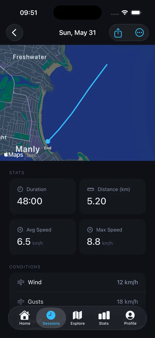
GPS tracking made for kayakers
Choose Kayak, press Start and paddle. Paddlor records your route, distance, duration, average speed and max speed. When you finish, the session is saved with a map you can look back on any time.
- Full route map for each trip
- Distance, duration and speed stats
- Works with iPhone, or Apple Watch on its own
Marine forecast for your launch spot
See wave height, swell period, wind speed and gusts for your location before you load the car. The hourly chart helps you choose the right time, and Pro adds a 7-day outlook for planning ahead.
Every kayak in your quiver
Add your sea kayak, touring boat or fishing kayak to your quiver and tag sessions to each one, so you always know what you paddled and how far.
Find new places to paddle
Community paddle spots help you discover launch points shared by other paddlers, with craft tags and difficulty. Always check local conditions and rules before you go.